
Our highly skilled team uses standardized data collection techniques to maximize data quality, reliability, and usability.
Data Collection
- We use standardized data collection techniques to maximize data quality, reliability, and usability.
- We have a variety of mapping-grade GPS units and dedicated field computers to support Far Western field crews.
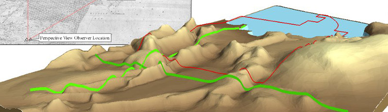
Mapping
- We use our collected data to prepare site-specific maps.
- We integrate a variety of client and public-sourced information for mapping purposes.
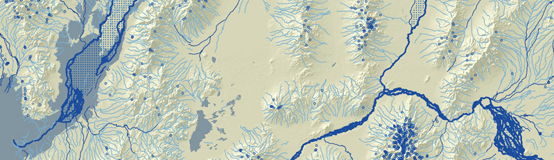
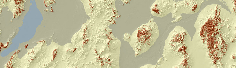
Analysis
- We have expert-level analysts to explore spatial and temporal relationships with GIS data.
Data Management
- We create usable and manageable database solutions.
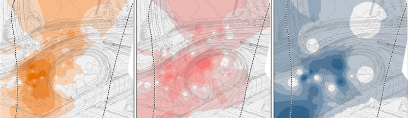
Information Presentation and Dissemination
- We are experienced in a variety of methods for simplifying and delivering complex or unwieldy datasets.