• Skip to primary navigation
  • Skip to main content
  • Skip to primary sidebar
Far Western

Far Western

Far Western Anthropological Research Group, Inc., is a leader in cultural resources management services. Since 1979, Far Western has consulted in archaeological projects for private industry, government agencies, tribal organizations, and non-profit groups, to achieve the broader goals of the environmental review and compliance process.

  • SERVICES
    • Archaeobotanical Analysis
    • Artifact Analysis and Collections Management
    • Bioarchaeology
    • Effects Mitigation
    • Environmental Planning Support
    • Evaluation and Testing
    • Geoarchaeology
    • GIS and Cartography
    • Historical Archaeology
    • Inventory
    • Monitoring
    • Paleontological Services
    • Public Outreach and Interpretation
    • Sensitivity and Constraints
    • Tribal Liaison
    • Underwater Archaeology
    • XRF Lab and Sourcing Studies
  • OFFICES
    • Contact Us
    • Main Office – Davis, CA
    • Bay Area Branch – Sausalito, CA
    • Desert Branch – Henderson, NV
    • Great Basin Branch – Carson City, NV
  • STAFF DIRECTORY
    • Full Directory
    • Far Western Principals
    • Principal Investigators
    • Geoarchaeologists
    • Historical Archaeologists
    • Senior Archaeologists
    • Staff Archaeologists
    • Laboratory and Collections Management
    • GIS and Cartography Specialists
    • Data Management
    • Bioarchaeologists
    • Graphic Design and Publishing
    • Administration
  • PUBLICATIONS
    • Our Publications
    • Selected Citations
  • ABOUT ARCHAEOLOGY
    • What is Archaeology?
    • Featured Videos
    • Public Outreach and Interpretation
    • Featured Projects
    • Visualization Gallery
  • NEWS
    • News Posts
    • Far Western Occasional Speaker Series
    • Subscribe to Far Western News
  • JOB POSTINGS

Molly

A Least-cost GIS Approach to Modeling Foraging Ranges, Spatial Organization of Southern Levant

Molly · September 4, 2015 ·

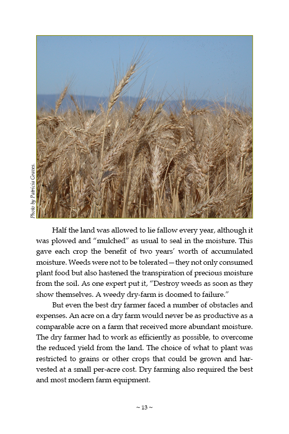
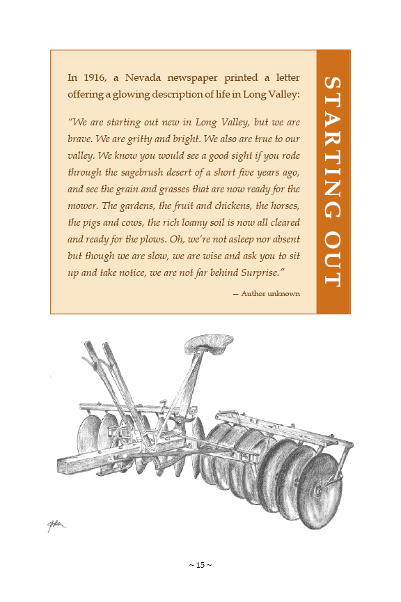
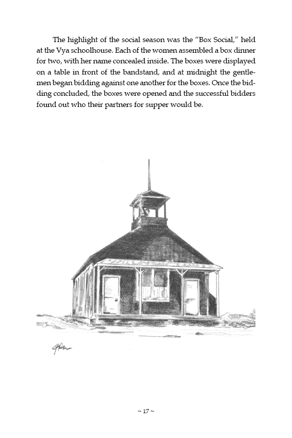
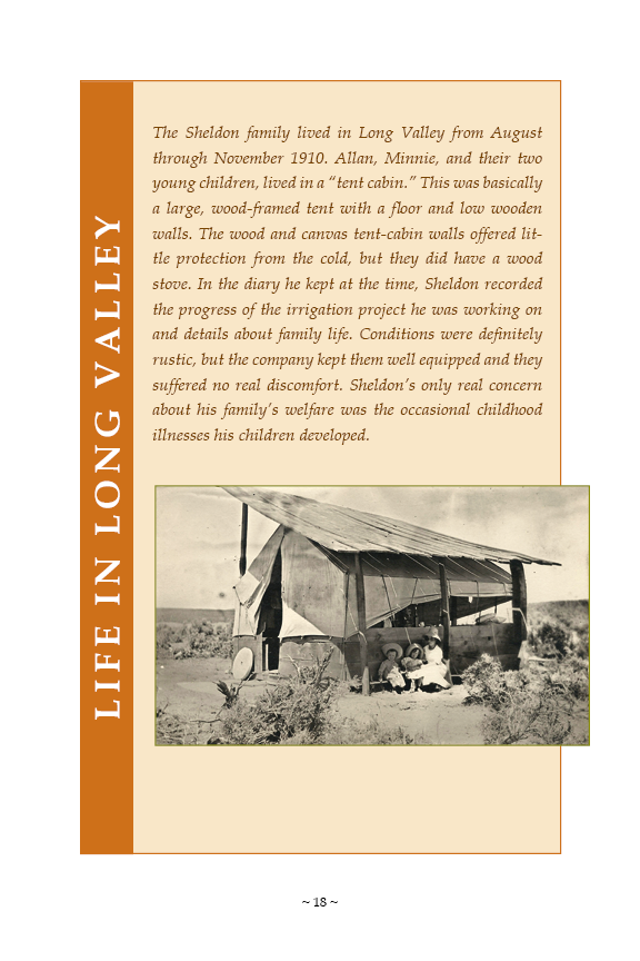
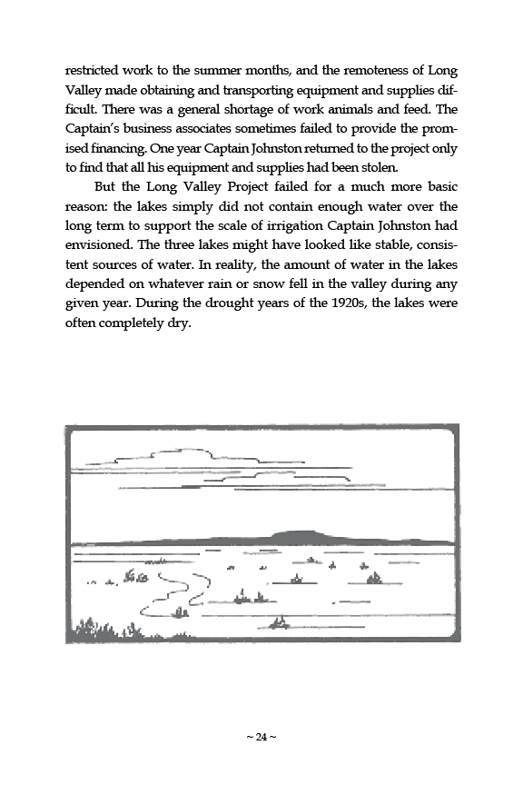
Brian Byrd, Andrew N. Garrard, and Paul Brandy recently published their article “Modeling Foraging Ranges and Spatial Organization of Late Pleistocene Hunter-gatherers in the Southern Levant—A Least-cost GIS Approach” in Quaternary International.

Read the full article at Quaternary International, Academia.edu, or Researchgate.net.
For an introduction, watch the narrated slide show below.


SHARE THIS: Share on Facebook Share on Google+ Share on LinkedIn Email this to someone

FW Geoarchaeologists Help Map San Francisco Bay Area Prehistory

Molly · August 25, 2015 ·

DSC01507
Cores in the Far Western Geoarchaeology Lab.

Cores upon cores fill the shelves of the Far Western Geoarchaeology Lab in Davis. These long tubes of “dirt” tell us a lot about prehistoric landscape evolution, and thus can help determine whether or not a location might have potential for archaeological findings. In most situations, backhoe trenching is the most effective way to identify sites. When backhoe trenching is not possible, in urban areas for example, or when the potential depth for a site exceeds the range of mechanical excavation, we conduct hydraulic continuous-core sampling to identify sites.

Coring in San Francisco.


When archaeologists dig through the layers of earth carefully, the different soils and buried surfaces can be visually seen. Cores do the same thing, like inserting a straw into a layer cake, sometimes reaching 65 feet below surface. Each four-foot section of the core is pulled up in two-inch-diameter plastic liners, brought to the lab, sliced down the center, and splayed open to reveal the stratigraphic layers.

DSC01511
OSL samples from cores.

Dating the layers can be done in a couple of ways. Most often, radiocarbon dating is used to get close estimates of how old plant, bone, or shell is in a certain layer, or when now buried surfaces were exposed at the surface. Other times, however, there is not enough organic matter to be sampled. In those cases, Optically Stimulated Luminescence (OSL) dating can be used. OSL samples must be removed from their original location in complete darkness, and kept in the dark until tested to provide accurate dates. The dates for each layer let geoarchaeologists map similar types of strata throughout a particular location. This helps archaeologists figure out where sites might be buried.

Schematic Cross Section of Study Area in San Francisco.


Recently opened core exposing artificial fill at the surface (~1.5–2.4 meters below surface), underlain by recent alluvium (~2.5–3.5 meters below surface), and followed in turn by a dense prehistoric shell midden (~3.5–5.5 meters below surface) formed on a Pleistocene-age sand dune (starting ~5.5 meters below surface).


Once buried land surfaces are identified in the cores, they can be sampled to not only determine their age and whether they contain archaeological materials, but also tested to see what types of small seeds, pollen, or other diagnostic material. This can be used to reconstruct the type of landscape that was present when that layer was at or near the surface.

Currently, Far Western Geoarchaeologists are using cores to map the potential for intact buried land surfaces below the historic-era extent of the San Francisco Bay. As ocean levels have risen, they have covered up landforms where people once lived. Recent findings indicate that we may be able to quite accurately map where some people lived for long periods of time, and perhaps returned over and over again generations later.

For interested archaeologists and non-archaeologists alike, we suggest reading: Waters, Michael R.,1992, Principles of Geoarchaeology: A North American Perspective. The University of Arizona Press.

SHARE THIS: Share on Facebook Share on Google+ Share on LinkedIn Email this to someone

Creating Vya: The Dream of Dry Farming

Molly · August 24, 2015 ·

Creating Vya: The Dream of Dry Farming in Long Valley, Nevada describes the rise and fall of the community of Vya with additional information on Northern Paiute lifeways, early explorers, cattle ranching, and the failed Long Valley Water Project. The book includes numerous photographs by John L. Henry.

Flip through the interactive booklet below, or view this booklet and others on our Public Outreach Projects page!

By Erich Obermayr Historic Insight with Sharon A. Waechter Far Western Anthropological Research Group, Inc.

SHARE THIS: Share on Facebook Share on Google+ Share on LinkedIn Email this to someone


“Most Inspirational” Film AND Telly Award

Molly · August 4, 2015 ·

TACThe Archaeology Channel film jury voted Far Western’s “Breaking New Ground: Native Americans in Archaeology“ the winner of the “Most Inspirational” award at the TAC International Video and Film Festival held in Eugene, Oregon.

telly


Also, our new Silver Telly Award for the film arrived this month!

Designed by the same firm that makes the Oscar® and Emmy®, the statuette is nearly 12 inches tall and weighs more than 4 1/2 pounds. Founded in 1979, the Telly Awards is the premier award honoring outstanding videos and films.

The films are judged by a panel of over 650 industry professionals, each a past winner. Fewer than 10% of the nearly 12,000 entries, from all 50 states and numerous countries, were chosen as Winners of a Silver Telly, the highest honor.

Thank you to the Native Americans who shared their experiences and stories for this film,
including Two Bears, to whom the film is dedicated.

Capture6

Congratulations to all who worked on the film
and to Cinnabar Video!

Capture

SHARE THIS: Share on Facebook Share on Google+ Share on LinkedIn Email this to someone

Professor Stevens to Start at Sac State

Molly · July 31, 2015 ·

Primary_Vertical_3_Color_wht_hndCongratulations to Nathan Stevens on his appointment to the Department of Anthropology at California State University, Sacramento, as assistant professor!

Nathan will be teaching classes and mentoring grad students, as well as helping to run the Archaeological Research Center. We look forward to working with Nathan in his new position. We wish him the best of luck, and while we’re sad to see him go, we know he’ll be helping to bring better archaeologists into the field!

SHARE THIS: Share on Facebook Share on Google+ Share on LinkedIn Email this to someone
  • « Go to Previous Page
  • Page 1
  • Page 2
  • Page 3
  • Page 4
  • Page 5
  • Page 6
  • Go to Next Page »

Primary Sidebar

CONTACT US TODAY

Main Office - Davis, CA
(530) 756-3941
Bay Area Branch - Sausalito, CA
(415) 413-1450
Desert Branch - Henderson, NV
(702) 982-3691
Great Basin Branch - Carson City, NV
(775) 847-0223

FEATURED

Visualizing Indigenous Persistence during Spanish Colonization of the San Francisco Bay Area

FAR WESTERN NEWS

McGuire Publishes in Terrain

February 15, 2024

Vickie Clay awarded the NAA Silver Trowel Lifetime Achievement

May 17, 2023

Archaeology Reveals Past Lives of Bay Area Native Tribe: Phil Gross and Far Western Produce National PBS Documentary

November 8, 2022

SUBSCRIBE TO FAR WESTERN NEWS

QUICKLINKS

Statement of Qualifications
GSA Contracting
Current On-Call List
Contact Us
Awards

SPECIAL SERVICES AND EVENTS

XRF Laboratory
Archaeobotanical Analysis
Underwater Archaeology
Public Outreach and Interpretation
Tribal Liaison
Occasional Speaker Series

CONTACT US

Main Office – Davis, CA (530) 756-3941
Bay Area Branch – Sausalito, CA (415) 413-1450
Desert Branch – Henderson, NV (702) 982-3691
Great Basin Branch – Carson City, NV (775) 847-0223

Far Western

Copyright © 2025 Far Western · Crafted by Tangerine Design · Log in

  • Statement of Qualifications
  • GSA Contracting
  • Current On-Call List
  • Contact Us
  • Awards